

What is
VINLAND


VINLAND
Vinland, Vineland, or Winland (Old Norse: Vínland hit góða, lit. 'Vinland the Good') was an area of coastal North America explored by Vikings. Leif Eriksson landed there around 1000 AD, nearly five centuries before the voyages of Christopher Columbus and John Cabot. The name appears in the Vinland Sagas, and describes Newfoundland and the Gulf of Saint Lawrence as far as northeastern New Brunswick. Much of the geographical content of the sagas corresponds to present-day knowledge of transatlantic travel and North America.
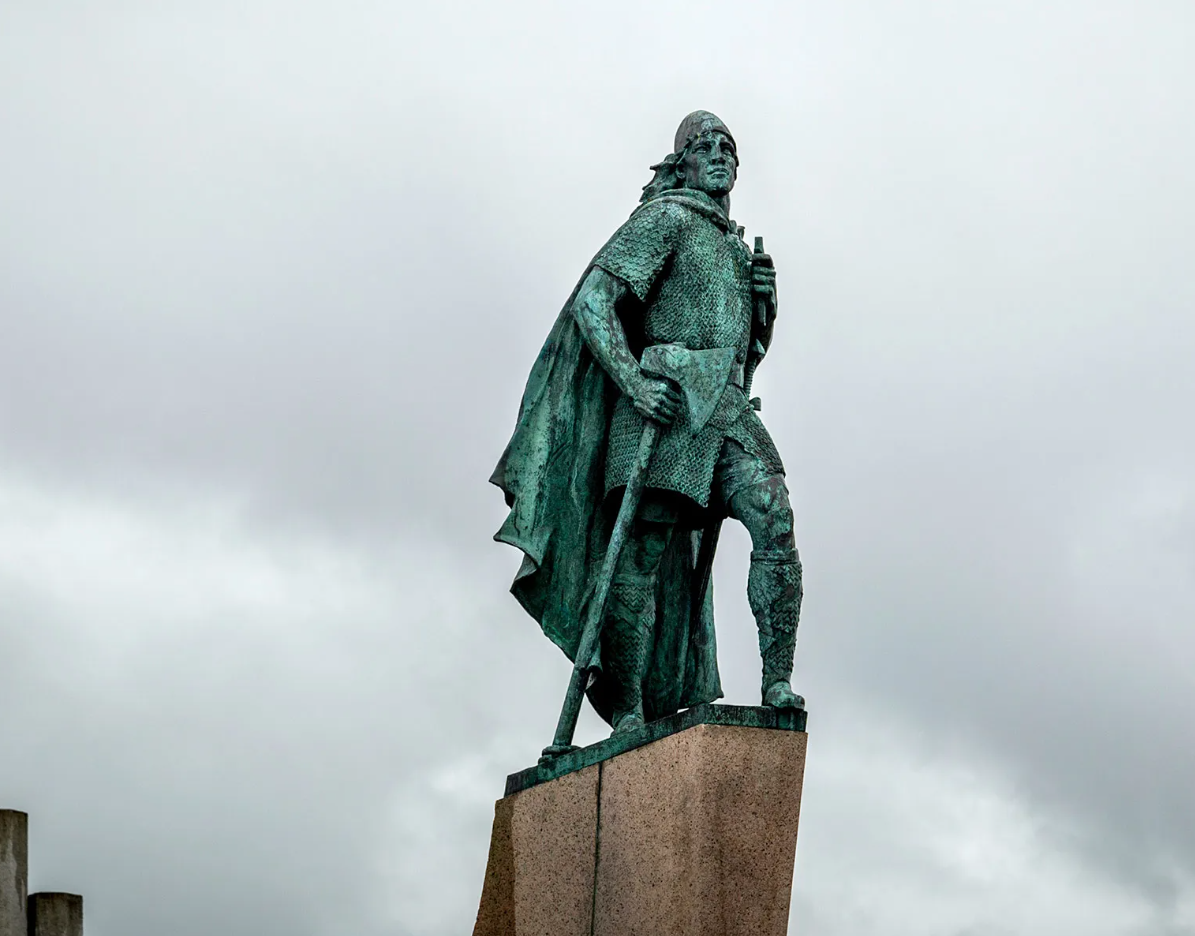
THE CREDIT FOR THE FIRST EUROPEAN TO SET FOOT ON NORTH AMERICAN SOIL GOES TO LEIF ERIKSON, WHO NAMED THE NEWLY DISCOVERED AREA VINLAND.
In the 13th century CE, two Icelandic sagas, The Saga of the Greenlanders (Grœnlendinga saga) and Erik the Red's Saga (Eiríks saga rauða), were written down. They tell the stories of the Viking journeys to America, which allegedly took place sometime between c. 970-1030 CE, and are collectively known as the Vinland Sagas, although they were composed independently. While the two disagree on some points, their similarities are striking enough to support the idea that these sagas - although hardly eye-witness accounts - remember real people and events at least partially preserved through an oral tradition.